10 Things You Need to Know About the Coming Super El Niño and Record Ocean Heat
April 2024 saw sea surface temperatures hit near-record highs, signaling a potential super El Niño that could rival the strongest events in the past century. Scientists warn this unfolding phenomenon may trigger extreme weather worldwide, from devastating floods to severe droughts. Here are 10 critical insights to understand what’s happening and what it means for our planet.
1. What Exactly Is El Niño?
El Niño is a natural climate pattern marked by unusually warm ocean waters in the equatorial Pacific. It disrupts global weather patterns, shifting rainfall and temperatures. Unlike La Niña’s cooling effect, El Niño releases stored heat into the atmosphere, often amplifying global temperature spikes. Think of it as nature’s thermostat turned up several notches—and right now, the dial is being pushed hard.
2. April 2024: The Second-Warmest Oceans on Record
Climate scientists report that last month’s sea surface temperatures were the second-warmest for any April in history, only behind 2016—a super El Niño year. This dramatic heat reflects the early emergence of El Niño conditions. The data comes from NOAA and other agencies, confirming that the Pacific is heating up faster than usual. When oceans get this hot so early, it often foreshadows a strong, prolonged event.
3. What Makes This a 'Once-in-a-Century' Event?
The term 'super El Niño' isn’t official—it’s a media label for exceptionally intense events like those in 1982–83, 1997–98, and 2015–16. Current models show a high probability that this El Niño will become one of the top three strongest on record. If ocean heat content continues rising, it could rival the mega‑El Niños that occur only once every 100 years or so. That’s why scientists are closely watching.
4. How El Niño Forms and Gains Strength
El Niño begins when trade winds weaken, allowing warm water from the western Pacific to slosh eastward toward South America. This redistributes heat across the surface layer. When those waters stay abnormally warm for months, the atmosphere responds—shifting rain belts, altering jet streams, and setting off a cascade of climate effects. The stronger the warming, the more dramatic the global impact.
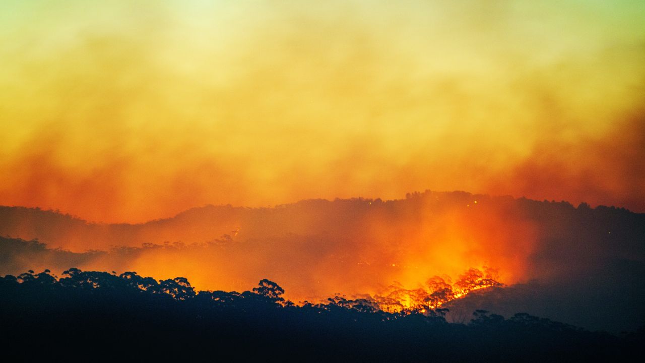
5. Global Weather Impacts: Floods, Droughts, and Heat Waves
From California torrents to Australian bushfires, El Niño rearranges weather worldwide. It typically brings heavy rain to the Americas’ west coasts and East Africa, while Southeast Asia and Australia face drought. The added ocean heat also supercharges tropical cyclones in the Pacific. Recent analogs show that a super El Niño can double the risk of extreme precipitation events in some regions.
6. Historical Super El Niños: What We Learned
The 1997–98 event caused over $35 billion in damages and killed thousands through floods and famine. The 2015–16 episode smashed global temperature records and bleached coral reefs across the Great Barrier Reef. Both taught us that early warning systems and preparedness save lives. Each super El Niño also reveals new interactions with climate change—like how warmer baseline oceans amplify the heat.

7. The Climate Change Link: Are We Making It Worse?
While El Niño is natural, climate change loads the dice. A warmer atmosphere holds more moisture, increasing rainfall intensity. Hotter oceans provide extra energy for storms and heatwaves. Scientists have shown that the frequency of super El Niños may rise under continued greenhouse emissions. The current event is developing on top of already record‑high global ocean heat, making its potential even more powerful.
8. What Scientists Are Watching Right Now
Forecasters track the Niño‑3.4 region (a key area in the Pacific) for temperature anomalies. As of May 2024, values exceed +1.5°C, the threshold for strong El Niño. They also monitor wind patterns, subsurface ocean heat, and model ensembles. The latest predictions show a >70% chance of a strong event persisting through winter 2024–25. Updates are released monthly by NOAA and other agencies.
9. How Countries Are Preparing for the Fallout
Governments from Peru to Indonesia are activating drought contingency plans, flood defenses, and food security measures. The World Meteorological Organization issues seasonal outlooks to guide agriculture, water management, and disaster risk reduction. The Philippines stocks emergency supplies, while California reinforces levees. Proactive planning can mitigate the worst impacts—but only if action matches the scale of the threat.
10. What This Means for Our Future Climate
If this El Niño becomes a once‑in‑a‑century event, it could push global temperatures to new record highs in 2024 or 2025. That would bring us closer to the 1.5°C Paris Agreement threshold, with severe consequences for ecosystems and communities. The super El Niño unfolding in the Pacific isn’t just a weather story—it’s a snapshot of the extreme conditions we can expect more often if we don’t curb emissions.
We’ve seen the warning signs: April’s near‑record ocean heat, the rapid onset of El Niño, and models pointing to an extraordinary winter ahead. Whether this becomes the “super” event many fear depends on how the ocean–atmosphere system evolves in the coming months. One thing is certain—we must pay attention, prepare, and push for climate action to reduce the risks of an even hotter world.